From 15 to 17 April 2026, the EOAfrica Explorers ARIES project contributed to the FAO ESTELLA Regional Workshop on the use of Earth Observations for crop monitoring and agricultural data, held in Accra, Ghana.
The workshop was organized by FAO, UNECA, and ESA, with technical contributions from partners including UCL, WorldCereal, AGRHYMET, RCMRD, and VITO. It brought together 28 participants from Ghana, Mali, Senegal, Nigeria, Niger, Liberia, and Burkina Faso to discuss how Earth Observation can better support operational agricultural monitoring and data production in the region.
As part of the programme, AGRHYMET and VITO Remote Sensing contributed to the session on Monitoring of Agropastoral Systems. The ARIES contribution focused on the estimation of dry forage biomass in Sahelian pastoral zones — a key information need for pastoral decision-making, feed balance assessments, and early warning during the dry season.
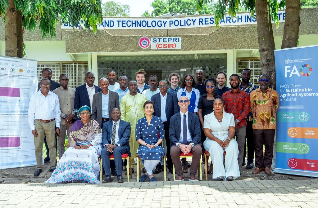
Participants and partners at the ESTELLA Earth Observation training in Accra, strengthening agricultural data systems in Africa
Why Dry Biomass Monitoring Matters
In the Sahel, livestock systems rely heavily on natural rangeland resources. The availability of dry forage biomass influences grazing pressure, livestock mobility, and transhumance routes, especially during the dry season when resources become scarcer and more unevenly distributed.
However, dry biomass remains difficult to monitor operationally. Existing Earth Observation approaches used for vegetation monitoring often rely on greenness-based indicators such as NDVI, which are well suited to active green vegetation during the rainy season but much less informative once vegetation has dried. This creates an important monitoring gap: biomass availability continues to change throughout the dry season due to grazing, fire, and degradation, but the satellite indicators most commonly used for vegetation monitoring become less sensitive to the resource that pastoralists depend on.
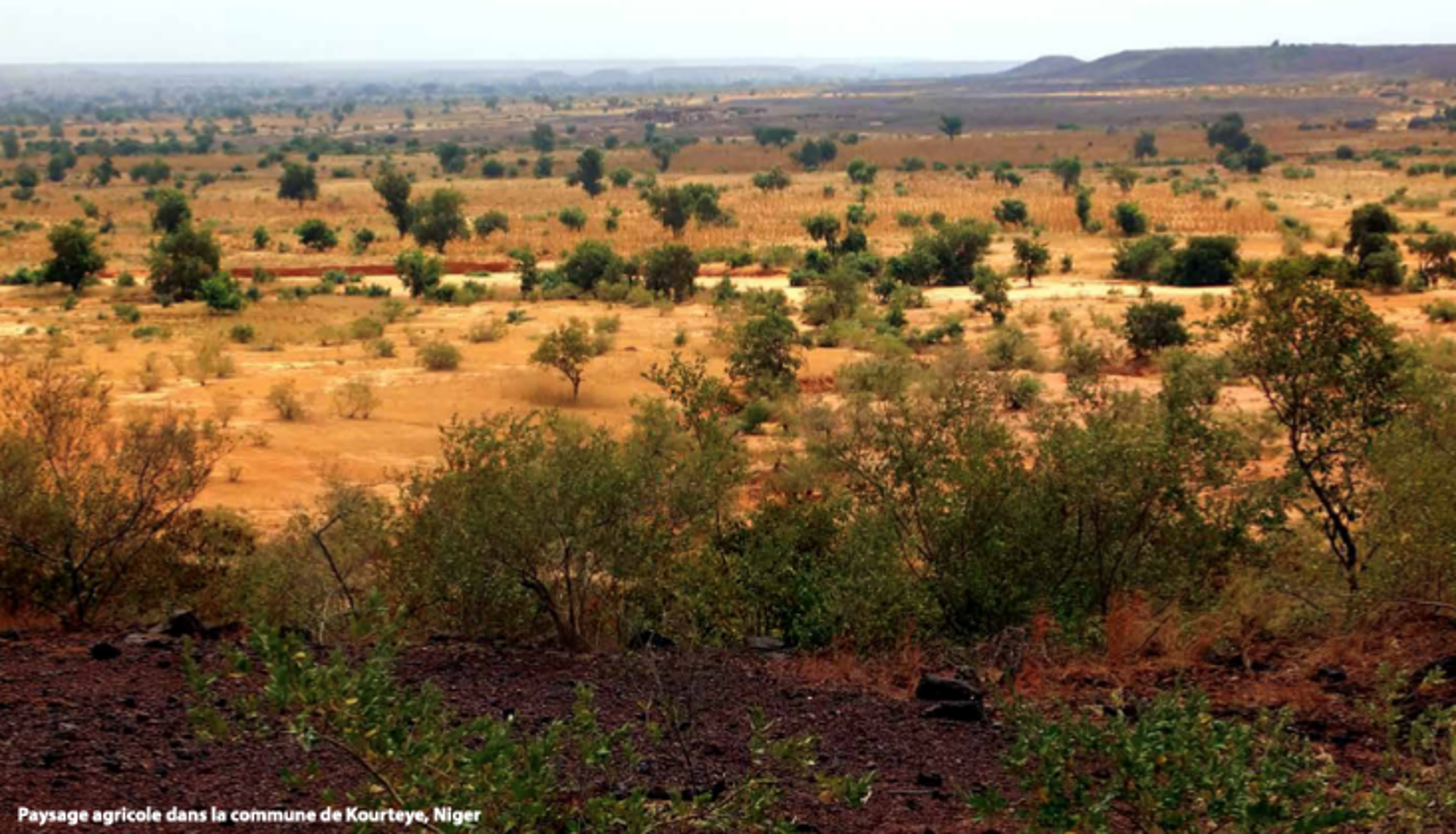
Agricultural landscape in the commune of Kourteye, Niger
ARIES’ Work on EO-Based Dry Biomass Estimation
Within ARIES, AGRHYMET and VITO are working together to explore how satellite data and machine learning can improve dry biomass estimation in Sahelian pastoral zones.
AGRHYMET brings long-standing operational expertise in pastoral monitoring and field data collection. In Niger, AGRHYMET has collected dry-season field observations of standing and litter herbaceous biomass over multiple years, using repeated campaigns across pastoral and agropastoral sites. These data provide an essential basis for calibration and validation of EO-based biomass models.
VITO’s contribution focuses on translating these field observations into satellite-based modelling workflows. The work presented at the workshop explored the use of Sentinel-2, Sentinel-1, rainfall, and productivity-related indicators, as well as exploratory hyperspectral data, to estimate dry aboveground biomass.
A key technical finding is the importance of the short-wave infrared region of the spectrum. Unlike greenness indicators, which mainly capture chlorophyll activity, SWIR-based information is more closely linked to dry vegetation properties such as cellulose and lignin. This makes SWIR particularly relevant for monitoring dry forage biomass after the rainy season.
The results also show that validation strategy matters. Random train-test splits can give overly optimistic results when samples from the same sites and years appear in both training and validation data. More robust validation approaches, such as grouped validation by site and year or leave-one-campaign-out testing, reveal the real challenge: models need to generalize across different locations, years, and climatic conditions. Exceptional years, such as seasons with unusually high rainfall and biomass production, remain particularly difficult when they are not well represented in the training data.
Hyperspectral data offers an important future perspective. Initial analyses indicate that hyperspectral observations, especially when combined with Sentinel-2, can add useful information for dry biomass estimation. However, operational use will require further testing, larger field datasets, and future data streams from missions such as CHIME.
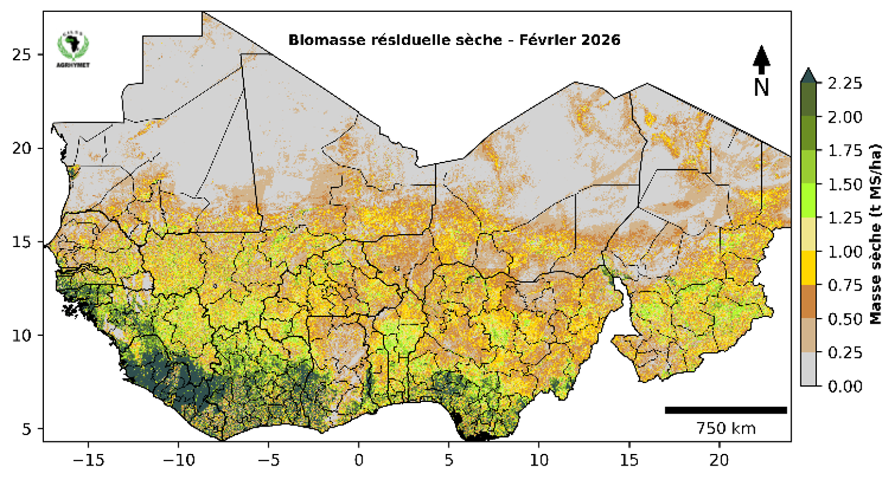
Prototype service developed by AGRHYMET on dry grass biomass estimation
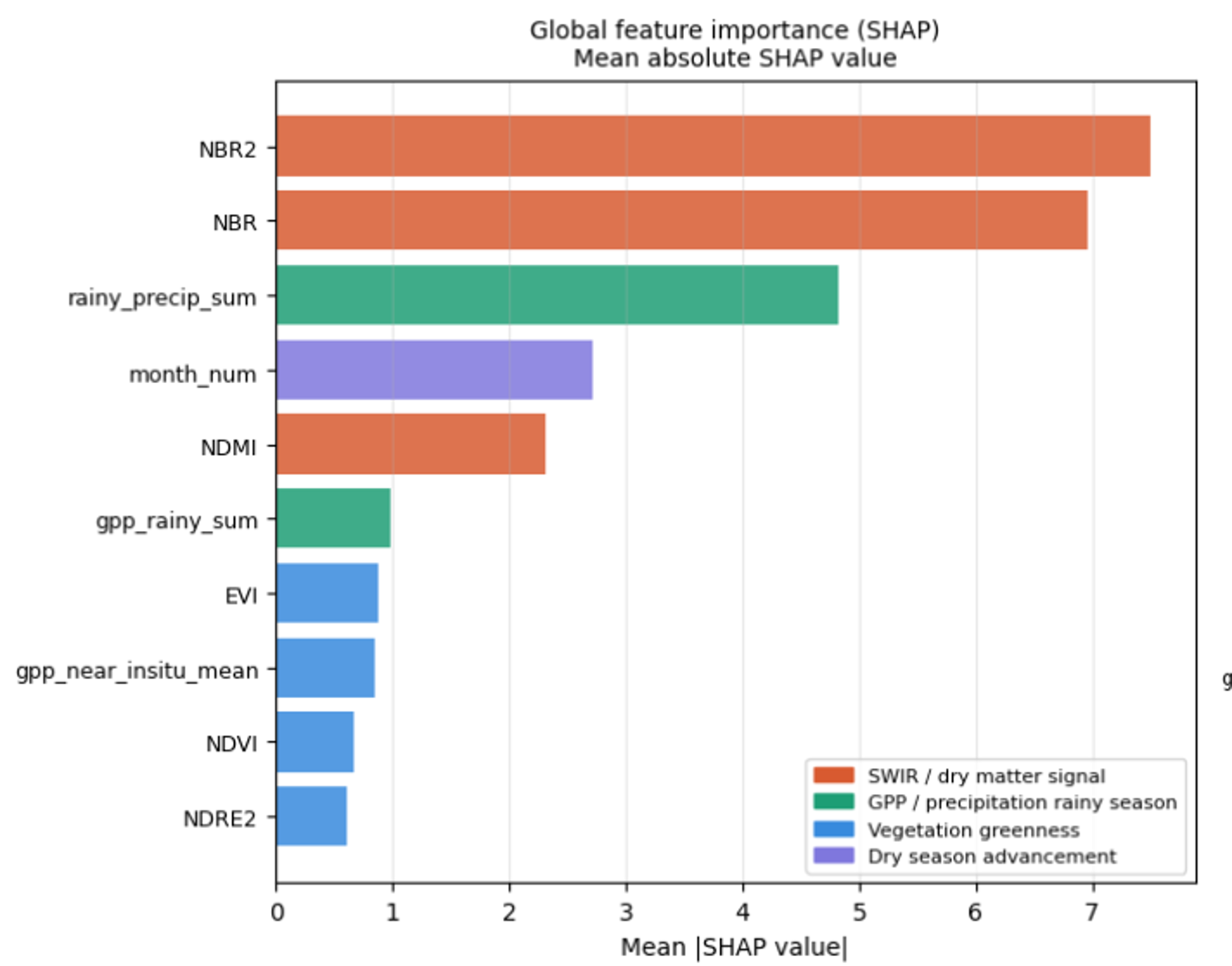
Importance of different input variables in VITO’s model for dry biomass estimation
Linking Research to Existing Regional Information Services
A key strength of this collaboration is that the work is not starting from scratch. AGRHYMET already produces pastoral monitoring bulletins for the wider Sahelian region in West Africa, providing regular information on the state of vegetation, biomass productivity, water availability, livestock condition, pastoral mobility, conflict risks and security constraints.
AGRHYMET CCR-AOS Pastoral Watch Bulletin
These bulletins are an important channel through which regional monitoring results can reach policy makers, national institutions and early warning actors. Improving EO-based dry biomass estimation would therefore directly feed into an existing decision-support mechanism. Better dry-season biomass information could help strengthen the evidence base behind pastoral bulletins, improve the identification of areas under pressure, and support more timely guidance for pastoral planning, transhumance management and food security monitoring.
In this sense, ARIES contributes not only to technical model development, but also to the improvement of operational information provision. By building on AGRHYMET’s existing bulletin system and regional mandate, advances in EO-based dry biomass monitoring can be translated more effectively into information that is usable by decision-makers.
A Shared Regional Need: Better Calibration and Validation Data
One of the main takeaways from the ESTELLA workshop was the clear need for a coordinated regional effort on field calibration and validation data for agropastoral monitoring.
Several countries in West Africa face similar challenges: dry-season forage availability is critical for pastoral systems, but harmonized field datasets for EO model development and validation remain limited. Without comparable field observations across countries, years and ecological conditions, it is difficult to develop models that are robust enough for operational regional monitoring.
AGRHYMET’s long-standing experience in Niger provides a strong foundation for such an initiative. Its expertise in field protocols, pastoral monitoring, biomass assessment, and regional early warning systems could help support a broader network of countries working towards harmonized calibration and validation datasets.
For ARIES, this is an important direction for future collaboration. Improving EO-based dry biomass monitoring is not only a technical modelling challenge. It requires sustained cooperation between regional institutions, national services, field teams, and EO experts. By connecting field expertise, satellite data, machine learning, and user needs, ARIES aims to contribute to more reliable information services for pastoral decision-making and food security in the Sahel.
The workshop in Accra provided a valuable opportunity to exchange with national and regional partners and to identify concrete needs for moving from promising research results towards operational agropastoral monitoring services.

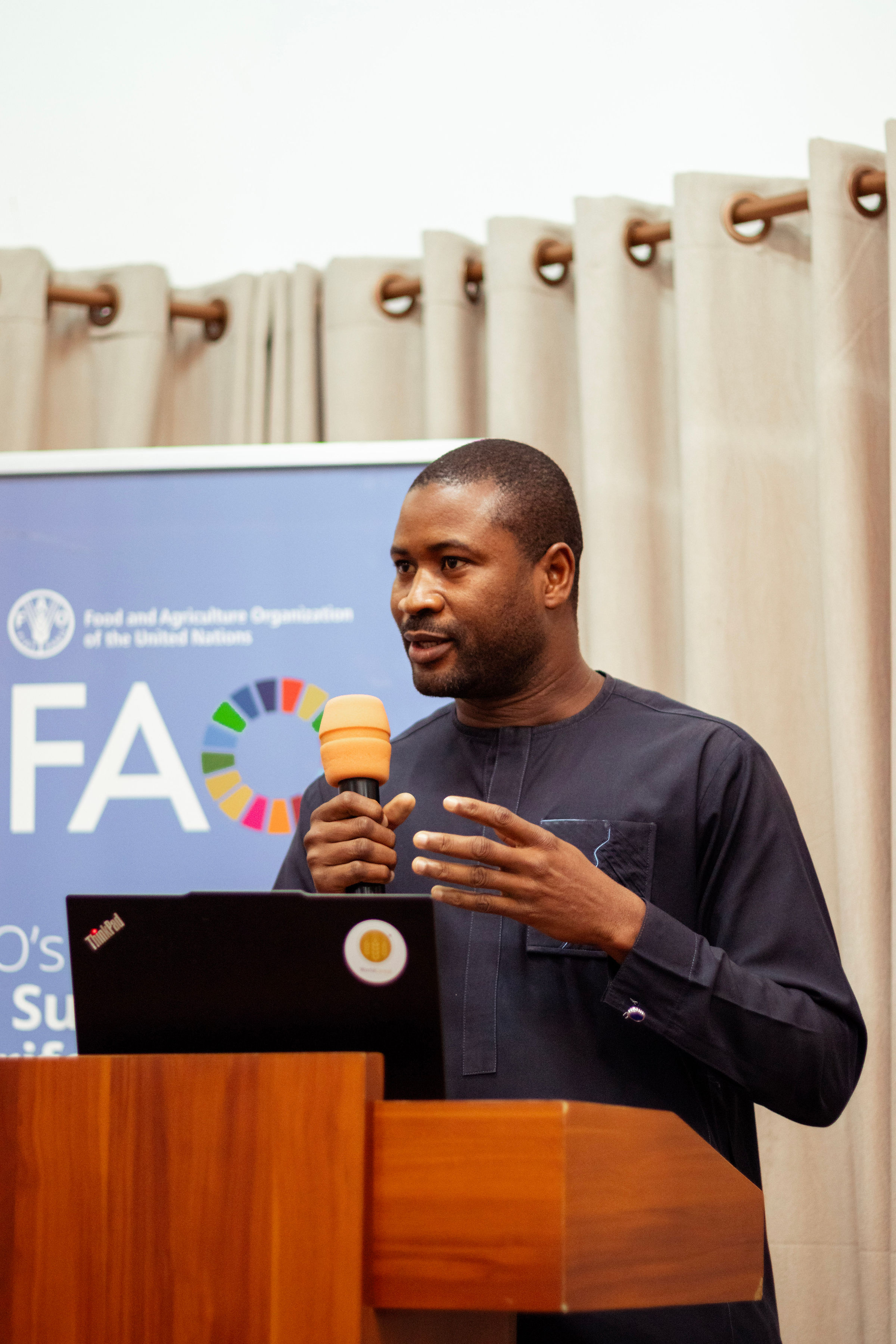
Abdourahamane Zakari (AGRHYMET) presenting
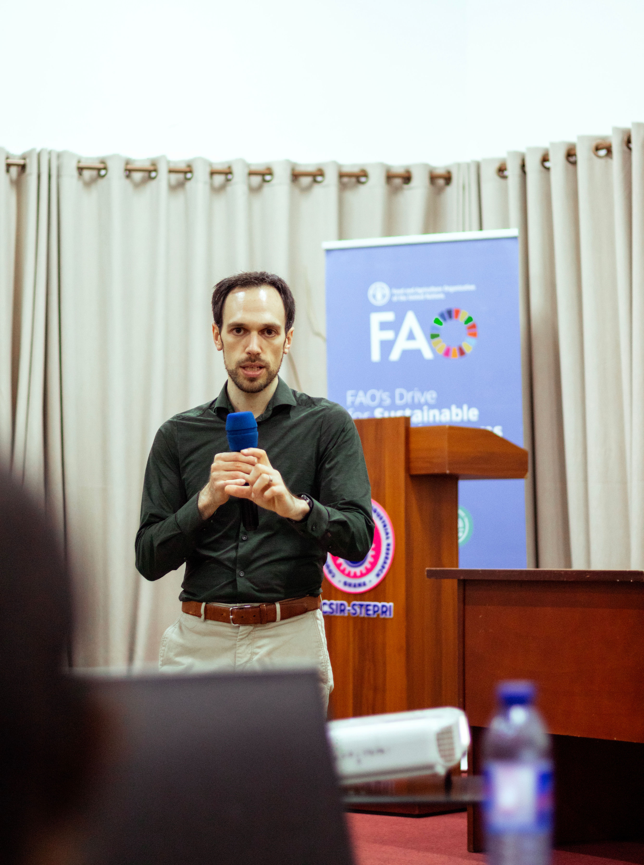
Jeroen Degerickx (VITO Remote Sensing) presenting